Share
The endpoint is scientific output: publication figures, interactive viewers, immersive site walks, and open data that collaborators and audiences can actually use.
Visualization
Outputs packaged so collaborators, students, and audiences can see and use them: publication figures, interactive 3D viewers, and immersive site walks.
Maps and figures
Publication-ready static maps and figures with Matplotlib, ggplot, and ArcGIS layouts. Color-blind-safe palettes, units, and scale by default; cartographic conventions throughout.
Orthomosaics and DEM hillshades
High-resolution print outputs and web-tiled deliverables (COG, MBTiles) for inclusion in reports, dashboards, and field maps.
3D point cloud and mesh viewers
Browser-based interactive viewers for sharing point clouds and meshes with collaborators who don't run desktop GIS.
Gaussian splats
High-fidelity 3D scene captures from photo or video sets, viewable directly in the browser. Common uses: outreach, teaching, quick site documentation.
XR (VR / AR)
Meta Quest 3 and HoloLens 2 builds for immersive site walks, training, and outreach. Past projects include archaeological reconstructions, geology field-trip simulations, and remote site briefings. Browser-based scenes are published as XR scenes, which open on a desktop or in a headset.
Interactive web maps
Leaflet, Mapbox GL, and deck.gl maps for public-facing dashboards. Our own data catalog is one example: every published lab dataset, browsable on a map.
XR hardware on hand
Headsets maintained by the lab for immersive site walks, training, and outreach.
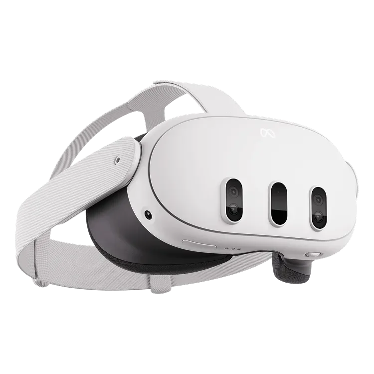
Quest 3
Meta Quest 3
Meta
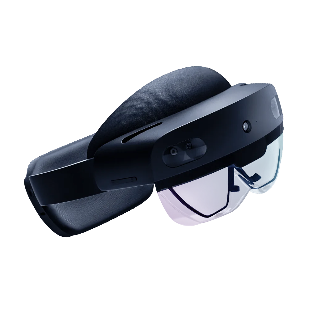
HoloLens 2
Microsoft HoloLens 2
Microsoft
Open data catalog & STAC API
Sharing doesn't stop at figures. Published datasets land in the lab's public data catalog — drone orthomosaics, lidar point clouds, SAR scenes, and 3D scene captures, organized by field site and browsable on a map.
Everything in the catalog is also available programmatically through a STAC API, with Python and R quickstarts on the Data page. The default license is CC BY 4.0; some items carry restricted-access flags — contact the lab before redistributing.
Working with lab deliverables
Formats, viewers, and access instructions for lab deliverables are covered in the lab documentation.
Need your results in front of an audience?
Tell us who needs to see your results — we'll match the format: figures, interactive viewers, XR, or open data. Initial scoping conversations are free — see Access & Rates for how projects are priced.
Contact the Lab