About the Lab
The Fossett Laboratory for Virtual Planetary Exploration supports geospatial research, visualization, teaching, and fieldwork at Washington University in St. Louis.
Mission
The Fossett Laboratory for Virtual Planetary Exploration provides infrastructure, equipment, and expertise for high-resolution geospatial data collection, analysis, and visualization. We support research across geology, ecology, archaeology, environmental science, and other fields. Our methods include drone surveys, lidar scanning, multispectral imaging, deep-learning analysis, 3D reconstruction, and extended reality (XR) visualization.
What We Do
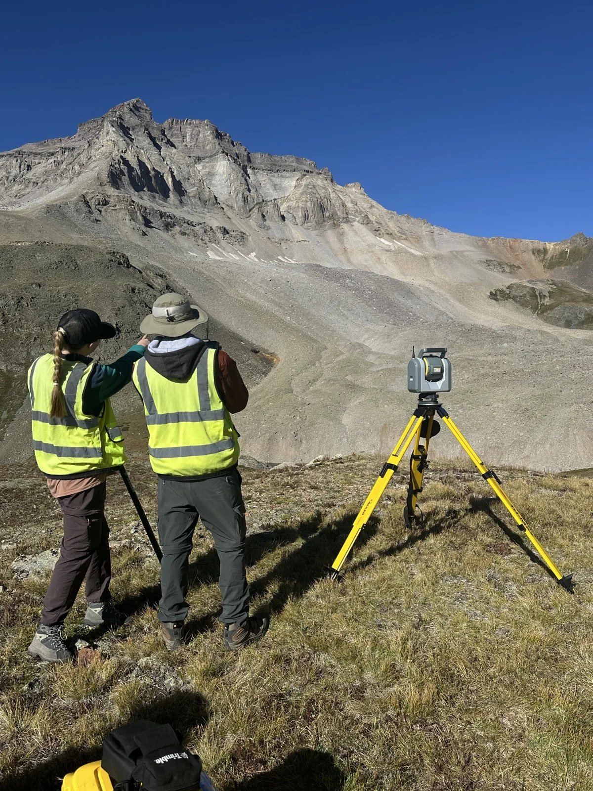
The lab maintains a fleet of drone platforms, terrestrial and mobile lidar scanners, multispectral sensors, survey-grade GNSS equipment, and XR headsets for immersive data exploration. We support field campaigns locally in the St. Louis region and internationally.
We also develop open data workflows and maintain a public STAC catalog of geospatial datasets, available for download under Creative Commons licensing.
History
The Fossett Laboratory for Virtual Planetary Exploration at Washington University in St. Louis was established through a gift from noted adventurer and Washington University alumnus Steve Fossett. A record-setting aviator, sailor, and balloonist, Fossett completed the first solo balloon circumnavigation of the globe in 2002 and the first solo nonstop airplane circumnavigation in 2005. He was elected to the Washington University Board of Trustees in 1995. Fossett disappeared during a solo flight over Nevada in September 2007, and the university established the laboratory in 2008 in his honor.
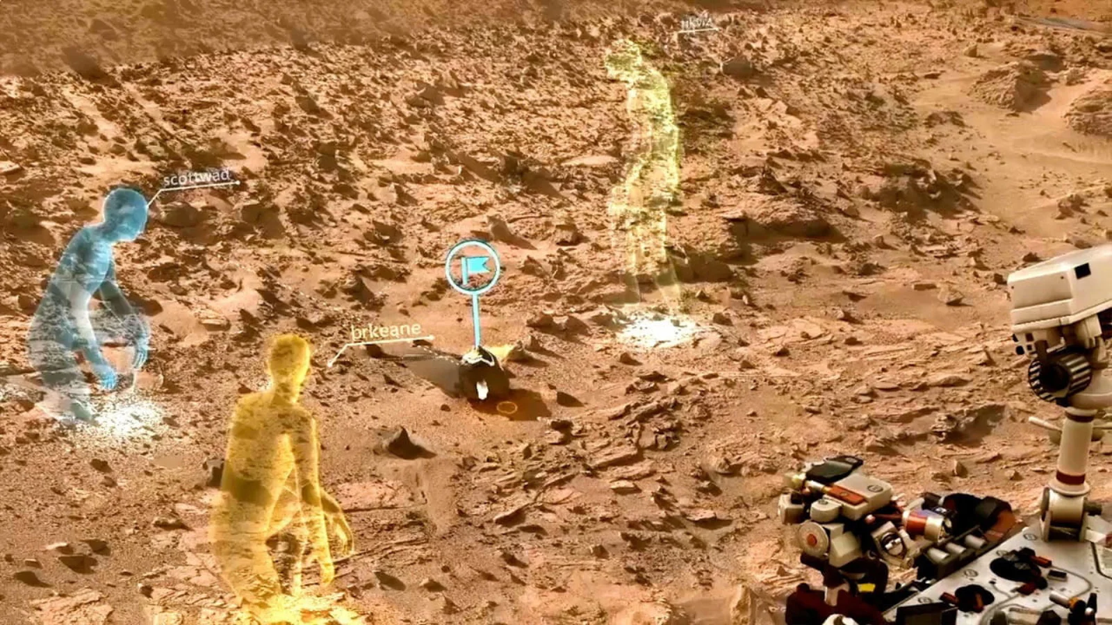
The lab originally centered on a CAVE (Cave Automatic Virtual Environment) immersive display for visualizing NASA planetary mission data, particularly from the Mars Exploration Program. It later pioneered the use of augmented reality in university teaching, developing the GeoXplorer app platform that brought 3D geological models to HoloLens, iOS, and Android devices. AR applications expanded across disciplines including art history, architecture, and language instruction.
The lab today combines geospatial field methods (drone surveys, lidar scanning, multispectral imaging) with extended reality visualization. The work supports research and teaching in earth and environmental sciences. See press coverage for more.
Support
The Fossett Laboratory is supported by the Department of Earth, Environmental & Planetary Sciences at Washington University in St. Louis and by the McDonnell Center for the Space Sciences. We also work with Seiler Geospatial, a regional surveying and geospatial equipment dealer, on hardware and training.