Services
Field data collection, geospatial data analysis, and visualization. Open to WashU researchers, external collaborators, and industry partners.
Data Collection
Field data collection from drones, ground instruments, and remote sensing. Lab staff can run a campaign end-to-end, or train collaborators to operate the equipment themselves. Planning, permitting, and logistics get worked out per project.
Drone surveys
RGB, multispectral, lidar, and thermal sensors on fixed-wing and multirotor platforms. Orthomosaics at cm-scale accuracy with PPK base correction; lidar point clouds for forest structure, change detection, and 3D site models.
Terrestrial laser scanning
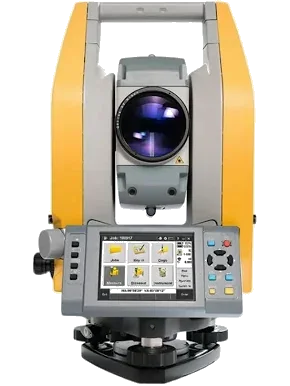
Trimble X9 and SX12 tripod scanners for geodetic-grade scans; GeoSLAM Zeb Horizon handheld for rapid below-canopy and indoor walks.
GNSS surveying
Trimble R980 + RTX, Emlid Reach RS2 / RS2+, and DJI D-RTK 2 for control points, base stations, and PPK workflows; cm-scale relative accuracy in good conditions.
Total station
Trimble C5 robotic for pinpoint feature mapping where GNSS is denied — under dense canopy, against structures, or indoors.
Ground-penetrating radar
Sensors & Software pulseEKKO Pro for buried-feature surveys: utilities, archaeology, soil stratigraphy.
Satellite tasking
Coordinated acquisitions from commercial SAR (e.g. ICEYE), commercial multispectral, and Planet Labs daily mosaics for time-sensitive or large-area campaigns. Tasking support currently available only for WashU clients.
Equipment fleet
Platforms and instruments maintained by the lab. Availability shown reflects current scheduling — not the entire upcoming year.
Drones
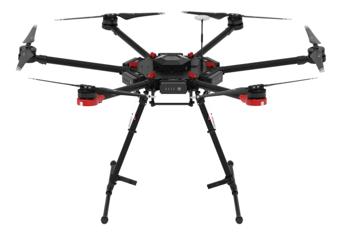
M600
AvailDJI Matrice M600
DJI
Specs
- Max Payload
- 6 kg
- Flight Time
- 35 min
- max Speed
- 65 km/h
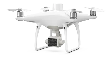
P4 Multispectral
AvailDJI Phantom 4 Multispectral
DJI
Specs
- Sensor
- 6-camera multispectral array
- Flight Time
- 27 min
- Positioning
- RTK/PPK GNSS
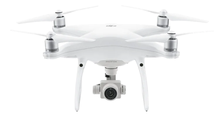
P4 Pro
AvailDJI Phantom 4 Pro
DJI
Specs
- Sensor
- 1-inch CMOS, 20 MP
- Flight Time
- 30 min
- Video
- 4K 60fps
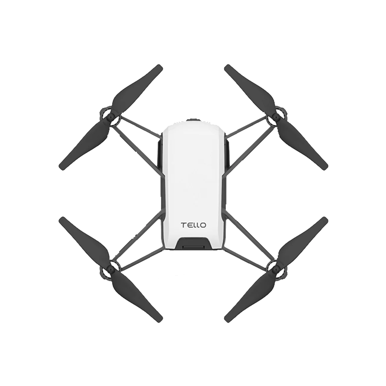
Tello
AvailDJI Tello
DJI
Specs
- Weight
- 80 g
- Flight Time
- 13 min
- Camera
- 5 MP
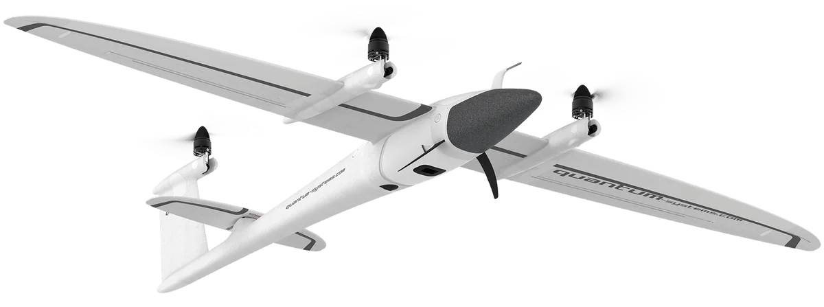
Trinity F90+
AvailQuantum Trinity F90+
Quantum-Systems
Specs
- Type
- Fixed-wing VTOL
- Flight Time
- 90 min
- Payloads
- Sony RX1 RII, Altum-PT, Qube 240
Sensors
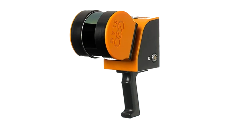
ZEB Horizon
AvailGeoSLAM ZEB Horizon
GeoSLAM
Specs
- Range
- 100 m
- Scan Rate
- 300,000 pts/sec
- Weight
- 1.3 kg
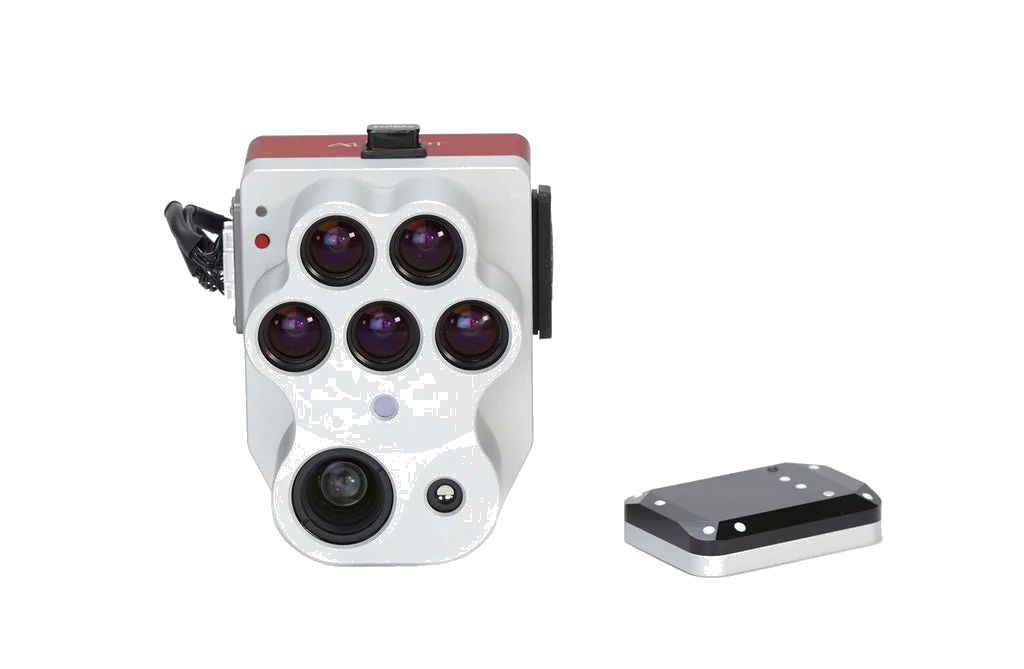
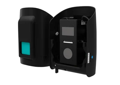
Altum-PT
AvailMicaSense Altum-PT
MicaSense
Specs
- Bands
- 5 multispectral + panchromatic + thermal
- Resolution
- 3.2 MP per band
- Mount
- Trinity F90+ payload
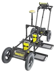
pulseEKKO Pro
AvailSensors & Software pulseEKKO Pro
Sensors & Software
Specs
- Type
- Ground penetrating radar
- Frequencies
- 25 MHz – 1 GHz
- Design
- Bistatic
- Weight
- 3 kg per transceiver
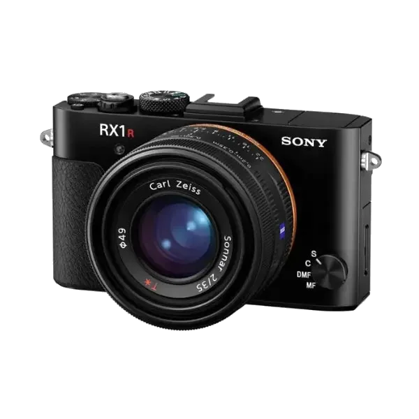
RX1 RII
AvailSony RX1 RII
Sony
Specs
- Sensor
- 35 mm full-frame, 42.4 MP
- Lens
- 35 mm f/2.0 Zeiss
- Mount
- Trinity F90+ payload
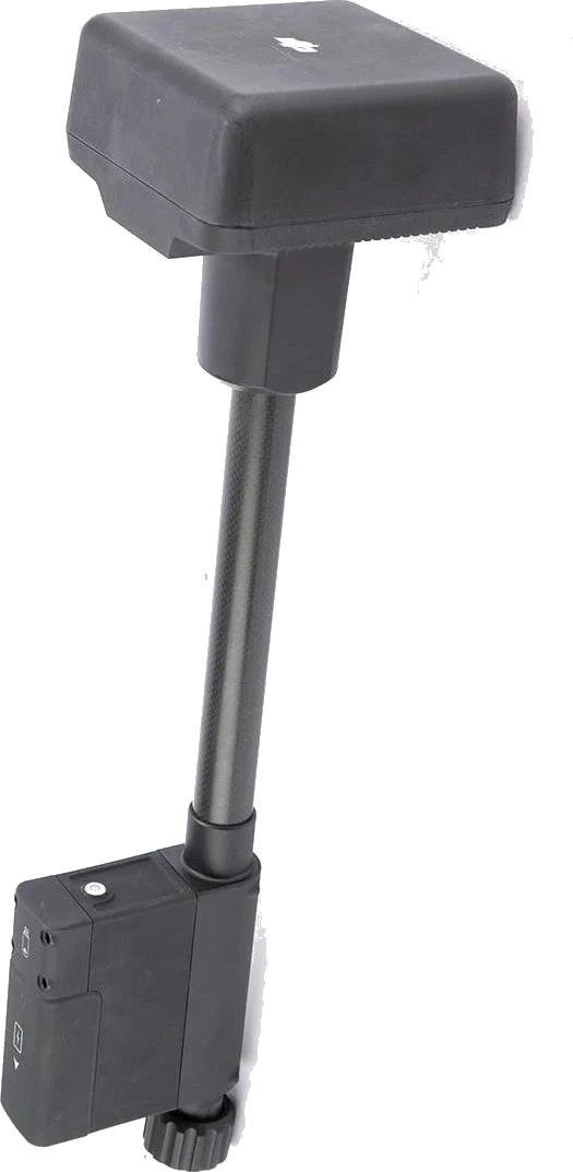
Qube 240
AvailYellowScan Qube 240
YellowScan
Specs
- Scan Rate
- 240,000 pts/sec
- Range
- 100 m
- Mount
- Trinity F90+ payload
Survey & Positioning
D-RTK 2
AvailDJI D-RTK 2 Mobile Station
DJI
Specs
- Type
- GNSS mobile station
- Signals
- GPS, GLONASS, Galileo, BeiDou
- Accuracy
- 1 cm + 1 ppm RTK
- Weight
- 3.5 kg (with tripod)

RS2 / RS2+
AvailEmlid Reach RS2 / RS2+
Emlid
Specs
- Type
- RTK/PPK GNSS receiver
- Signals
- GPS, GLONASS, Galileo, BeiDou
- Accuracy
- 7 mm + 1 ppm RTK
C5
AvailTrimble C5 (Total Station)
Trimble
Specs
- Type
- Mechanical total station
- Angular Accuracy
- 5"
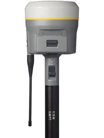
R980
AvailTrimble R980 (GNSS Receiver)
Trimble
Specs
- Type
- GNSS receiver
- Signals
- GPS, GLONASS, Galileo, BeiDou
- Accuracy
- 8 mm + 1 ppm RTK
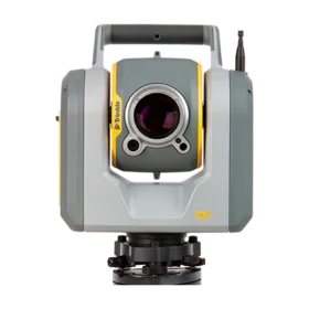
SX12
AvailTrimble SX12 (Total Station)
Trimble
Specs
- Type
- Robotic total station
- Angular Accuracy
- 1"
- scanning
- 26,600 pts/sec
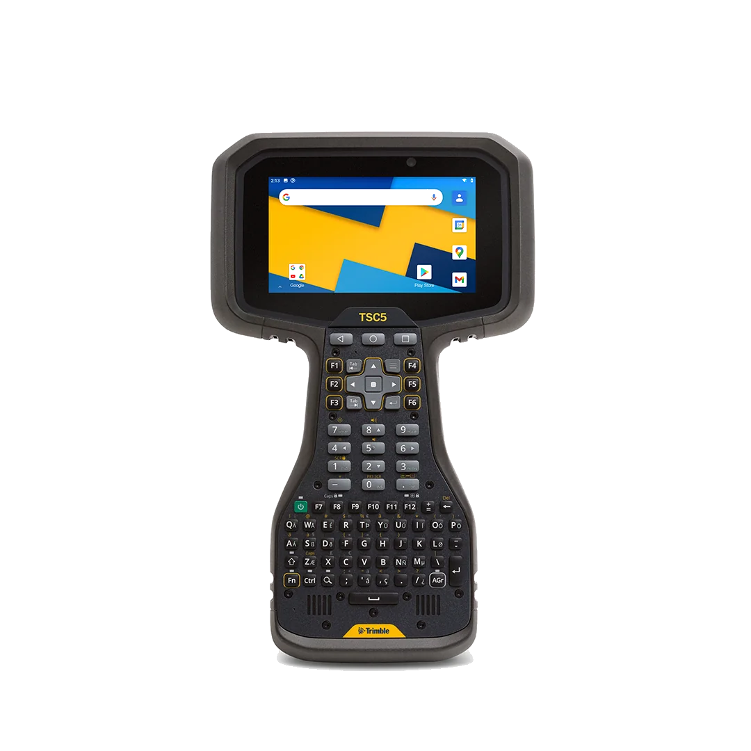
TSC5
AvailTrimble TSC5 (Controller)
Trimble
Specs
- Type
- Field controller
- software
- Trimble Access
- Display
- 5" touchscreen
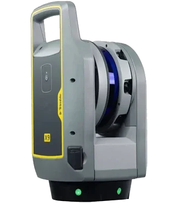
X9
AvailTrimble X9 (TLS)
Trimble
Specs
- Type
- Terrestrial laser scanner
- Range
- 80 m
- Scan Rate
- Up to 500,000 pts/sec
Connectivity

Hologram
AvailHologram IoT Cellular
Hologram
Specs
- Type
- Cellular IoT SIM
- Bands
- Global LTE/3G
- Design
- Multi-carrier SIM
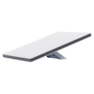
Starlink Mini
AvailSpaceX Starlink Mini
SpaceX
Specs
- Type
- LEO satellite terminal
- Weight
- 1.1 kg
- Design
- Compact flat panel
- Bands
- Ku-band
- Positioning
- Built-in GPS
Trimble RTX
AvailTrimble RTX Correction Service
Trimble
Specs
- Type
- Satellite GNSS corrections
- Accuracy
- < 2 cm horizontal
- Positioning
- CenterPoint RTX
Data Analysis
Data we collect, and data brought to us, processed with photogrammetry and GIS pipelines, statistical analysis, and deep-learning tools where they fit the task.
Photogrammetric reconstruction (SfM/MVS)
Pix4D and OpenDroneMap for sparse and dense 3D reconstruction from drone or ground imagery.
Orthomosaic generation
Corrected, georeferenced top-down mosaics from drone imagery (RGB, multispectral, thermal). GeoTIFF output in any CRS, with optional COG packaging for web tiling.
Multispectral and thermal indices
NDVI, NDRE, GNDVI, thermal anomaly maps, and custom band math from MicaSense Altum or thermal payloads.
GIS workflows
ArcGIS Pro and QGIS for spatial overlays, watershed analysis, change detection, terrain analysis, vector editing, and map production.
Point cloud processing
Classification, ground filtering, canopy height models, registration, and inter-epoch change detection (CloudCompare, lidR, PDAL, Trimble Business Center).
Statistical analysis
Time-series analysis of repeat surveys, uncertainty quantification, spatial statistics. Reproducible Python and R pipelines, version-controlled, delivered with raw data, code, and methods documentation.
Deep learning
Containerized deep-learning models applied where they outperform classical methods. Build recipes are version-controlled, so a run this year and a run next year produce the same numbers.
Lidar segmentation
Models in deployment focus on forest applications: individual-tree instance segmentation from UAV / airborne lidar (SegmentAnyTree, ForAINet) and ground-based lidar / TLS / MLS (TreeLearn, FSCT, PointsToWood). Classical baselines (AMS3D, 3DFin) sit alongside the DL models for stem detection and DBH.
Imagery analysis
Object detection and segmentation in 2D imagery from any source — aerial, drone, satellite, handheld, and camera-trap stills. SAM 2 (with samgeo for georeferenced raster I/O) handles general-purpose promptable segmentation. DeepForest specializes in tree-crown detection from aerial RGB.
Remote-sensing foundation models
Pre-trained backbones for Sentinel-1/2, Landsat, NAIP, MODIS, and UAV RGB imagery — used for zero-shot scene classification, embedding-based similarity search, and transfer learning to project-specific tasks with small label budgets. Models: Clay, Prithvi-EO (IBM/NASA), Satlas (Allen AI), RemoteCLIP.
Domain-specific applied models
Animal detection in drone thermal video; seismic phase picking (SeisBench: PhaseNet, EQTransformer); LSTM rainfall-runoff prediction (NeuralHydrology); powder-XRD multi-phase identification (autoXRD).
Data Visualization
Outputs packaged so collaborators, students, and audiences can see and use them: publication figures, interactive 3D viewers, and immersive site walks.
Maps and figures
Publication-ready static maps and figures with Matplotlib, ggplot, and ArcGIS layouts. Color-blind-safe palettes, units, and scale by default; cartographic conventions throughout.
Orthomosaics and DEM hillshades
High-resolution print outputs and web-tiled deliverables (COG, MBTiles) for inclusion in reports, dashboards, and field maps.
3D point cloud and mesh viewers
Browser-based interactive viewers for sharing point clouds and meshes with collaborators who don't run desktop GIS.
Gaussian splats
High-fidelity 3D scene captures from photo or video sets, viewable in any modern browser. Common uses: outreach, teaching, quick site documentation.
XR (VR / AR)
Meta Quest 3 and HoloLens 2 builds for immersive site walks, training, and outreach. Past projects include archaeological reconstructions, geology field-trip simulations, and remote site briefings.
Interactive web maps
Leaflet, Mapbox GL, and deck.gl maps for public-facing dashboards. Our own data catalog is one example: 124 datasets, browsable on a map.
XR hardware on hand
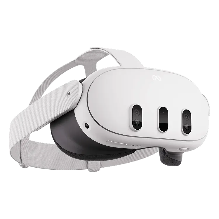
Quest 3
Meta Quest 3
Meta
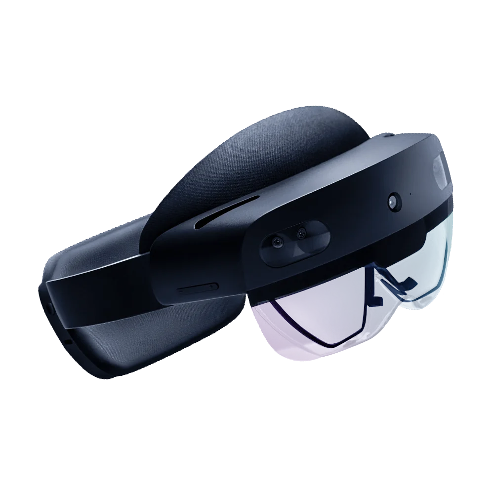
HoloLens 2
Microsoft HoloLens 2
Microsoft
Access & Rates
Open to WashU faculty, staff, students, and postdocs, and to external academic and industry collaborators. The lab operates as a recharge facility under a published User Agreement.
Free initial scoping
A short conversation to confirm scope, sensors, deliverables, and timeline. No commitment.
Internal & external rates
WashU recharge rates differ from external academic and industry rates. Both are scope-dependent and quoted per project.
Written estimates
Estimates and User Agreement details are provided after the scoping conversation.
Full pricing FAQ and contact form on the Contact page.
Ready to start, or have questions?
Lead times, training, data formats, and other common questions are answered on the Contact page. Reach out and we'll respond within a few business days.
Contact the Lab